



Willamette National Forest Guide
Willamette National Forest stretches 110 miles along Oregon’s Cascade Range, with elevations ranging from about 1,500 feet in the valleys to 10,495 feet at the highest peak. For Eugene-area travelers, it’s one of the most accessible wilderness escapes in the Pacific Northwest. Waterfalls, alpine lakes, hot springs, and nearly 1,700 miles of trails all sit within a couple hours’ drive. This Willamette National Forest guide covers what you need to know before you go: access routes, permits, and how to pack for the season you’re visiting in.
Discovering Willamette National Forest
Where It’s Located and How to Get There
From Eugene, U.S. Highway 126 heads east into the forest, following the McKenzie River corridor. Interstate 5 is the main route connecting the gateway cities of Eugene and Springfield if you’re coming from farther out. Coming from Salem or Stayton? Oregon Highway 22 or Highway 126 will get you in from the north. Travelers approaching from the east can use U.S. Highway 20 near Santiam Pass. All three routes are paved and well-maintained, though they wind through mountain terrain, so give yourself extra time.
Before a forest trip, it’s worth having your vehicle checked over. Winding mountain roads and changing weather put more demand on tires, brakes, and cooling systems than typical Eugene commuting does. Our service department can get your vehicle trip-ready, and you can schedule service online before you head out.
What Makes This Forest Special
Willamette National Forest supports roughly 300 species of fish and wildlife, including wolverines, bald eagles, and northern spotted owls. The forest is dominated by Douglas fir, with old-growth stands throughout. Mount Jefferson, the forest’s highest point at 10,495 feet, anchors the skyline. Climbing it is difficult and dangerous, so most visitors are better off admiring it from a distance rather than attempting a summit.
Must-See Spots in Willamette National Forest
Waterfalls Along the McKenzie River
Sahalie Falls drops about 100 feet, while nearby Koosah Falls has a main drop of 64 feet. The two are connected by the 2.6-mile Waterfalls Loop Trail #3503, an easy way to see both in a single outing.
Scenic Lakes and Hot Springs
Waldo Lake is known for exceptionally clear water and draws paddlers, swimmers, and campers all summer long. Recreation.gov lists campgrounds and other services around the lake.
Cougar Hot Springs, also called Terwilliger Hot Springs, features four cascading pools reached by a 0.4-mile walk from the trailhead off Forest Service Road 19. A per-person day-use fee applies, payable in cash at the self-pay station, and the Northwest Forest Pass is not accepted. Capacity is capped at 15 people at the pools, with a two-hour soaking limit. The site is day-use only and closes Thursday mornings from 8 a.m. to noon for cleaning.
Worth knowing before you go: clothing is optional at the pools, and dogs are not permitted past the designated tie-up area. Confirm the current fee and any seasonal road closures with the McKenzie River Ranger District before you drive out.
Trails for Every Skill Level
A few trails worth noting for range of difficulty and terrain:
| Trail | Distance | Best For |
|---|---|---|
| Waterfalls Loop Trail #3503 | 2.6 miles | Easy family outing |
| Coffin Lookout Trail #3392 | 2.5 miles | Short scenic climb |
| Lava River National Recreation Trail | ~5 miles round trip | Volcanic geology |
| Tombstone Nature Trail #3420 | 5.4 miles | Longer day hike |
| McKenzie River National Recreation Trail | 26.4 miles | Multi-day or segmented rides and hikes |
| Huckleberry Flats OHV Trail | 65-mile system | OHV riding, Oregon OHV permit required |
Five National Recreation Trails run through the forest in total, giving hikers, mountain bikers, and cross-country skiers plenty of options depending on the season.
What to Bring for Your Forest Adventure
Essential Gear and Supplies
Sturdy, broken-in footwear matters on rocky or root-covered trails. Layered, moisture-wicking clothing helps with the forest’s habit of shifting between sun and clouds within a single afternoon. Cell coverage is inconsistent across much of the forest, so carry a paper map or download offline maps before leaving Eugene. A water filter or purification tablets are worth the small extra weight, since drinking untreated stream or lake water carries risk. A first aid kit and headlamp with extra batteries round out the basics for any trip length.
Seasonal Packing Tips
Packing changes with the season:
- Winter (mid-November through April). Snowshoes, ice cleats, and walking poles help with snowshoeing or cross-country skiing.
- Hot springs visits. Bring swimwear and a towel year-round.
- Summer. Sun protection and insect repellent matter more at higher elevations where tree cover thins.
- Spring and fall. Waterproof layers, since trails at elevation can hold snow into May or June, and fall weather turns unpredictable.
Planning Considerations Before You Go
Permits, Passes, and Fire Restrictions
A sno-park pass is required from mid-November through April in the Santiam Pass Winter Recreation Area. The 65-mile Huckleberry Flats OHV Trail system requires an Oregon OHV permit. The forest also runs a Central Cascades Wilderness Permit system, and several popular wilderness trailheads require an advance day-use permit during peak season, so check before you plan a summer hike into the Three Sisters or Mt. Jefferson areas. Guided Nature and Heritage Tours through the Sweet Home Ranger District require advance booking on Recreation.gov, ideally about two weeks ahead.
Fire restrictions may apply during warmer months and can affect campfires at any elevation. Permits, fees, and fire status change often, so verify current conditions through the USDA Forest Service or Recreation.gov before you leave.
Best Time of Year to Visit
Winter, roughly mid-November through April, is prime season for snowshoeing and cross-country skiing, plus tubing at Hoodoo’s Autobahn, one of the largest tubing parks in the region. Late spring through autumn opens up hiking, rafting, and guided tours. Summer brings swimming at Waldo Lake and along the McKenzie River Trail.
Safety Tips for Exploring the Wilderness
Tell someone your specific route and expected return time before heading out. Stay on marked trails, since GPS signal can drop under dense canopy and routes can get confusing where multiple trails converge. Follow Leave No Trace principles, check the weather before you go, and build in buffer time. Mountain weather in the Cascades can shift quickly.
Nearby Towns and Ranger District Highlights
Eugene and Springfield are the main western gateway to the forest, with the McKenzie River corridor along Highway 126 offering the most direct access. Oakridge, to the south, is known for its extensive mountain biking trail network. To the north, Salem and Stayton provide access via Oregon Highway 22.
Ranger stations, such as the McKenzie River Ranger Station, are open 10:00 a.m. to 4:30 p.m., Monday through Friday, and welcome both walk-in and phone questions. Stopping by or calling ahead is worthwhile for current trail conditions and fire restriction updates that websites don’t always reflect in real time.
Hit the Road in a New Mazda from Kiefer Mazda
Getting There in the Right Vehicle
Getting to Willamette National Forest comfortably starts with a vehicle suited to winding mountain roads and, in winter, snow-covered conditions near sno-parks. Mazda’s AWD-equipped SUVs and crossovers are built with this kind of driving in mind.
Explore Your Options
If you’re a student or new to the area and want an affordable option for weekend trips, our used vehicles inventory is worth a look. For those ready for something new, browse our new Mazda vehicles lineup.
Reach Out to Our Team Today
Whether you’re planning a quick day trip to the waterfalls or a longer camping run near Waldo Lake, having a trip-ready vehicle makes the drive easier. Visit Kiefer Mazda or contact us with any questions before your next Willamette National Forest trip.
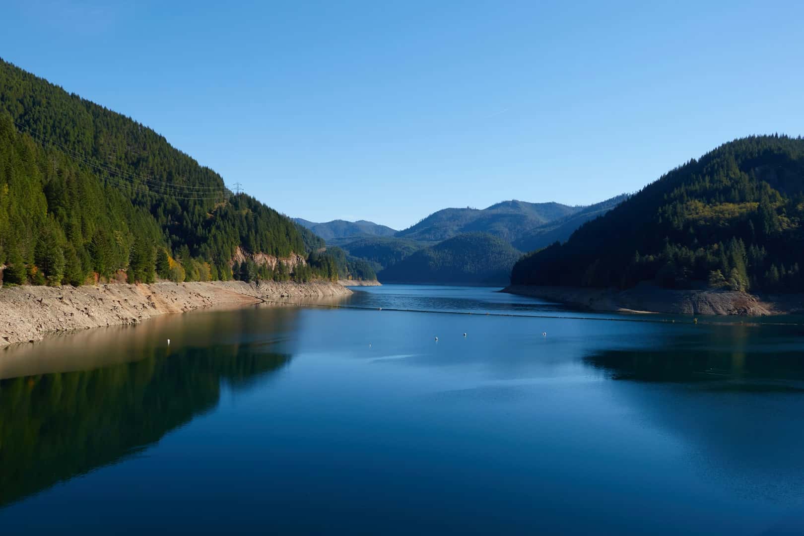
Photo by josh ludahl on Unsplash
0 comment(s) so far on Willamette National Forest Guide